Sh 2-159
Also called
LBN 543Coordinates: (111.6°, 0.4°)
[ Catalog | Explorer | SIMBAD ]
Sh 2-159 appears to be ionised by the O9.5 class emission star [MO2001] 82.
Russeil combines Sh 2-158 and Sh 2-159 into one star formation region. You can see the two nebulae embedded in the 595 thousand solar mass dust cloud [UUT2000] Cloud G in this MSX infrared image.
All of these objects are part of the dusty Cas OB2 association.
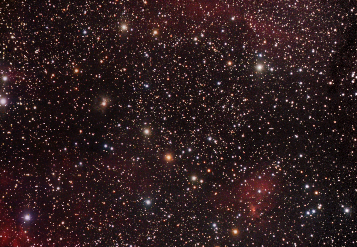
A wide area image that includes Sh 2-159 can be seen here.
Russeil combines Sh 2-158 and Sh 2-159 into one star formation region. You can see the two nebulae embedded in the 595 thousand solar mass dust cloud [UUT2000] Cloud G in this MSX infrared image.
All of these objects are part of the dusty Cas OB2 association.
A wide area image that includes Sh 2-159 can be seen here.
Russeil identifies an O9 V class ionising star for Sh 2-159. [1] She gives no catalog designation and neither SIMBAD nor the Reed catalog lists a star at the exact location she provides. However, SIMBAD does list a nearby O9.5 class emission star [MO2001] 82 and Avedisova includes both Sh 2-159 and this emission star in star formation region 111.64+0.37.
Both Sh 2-158 (NGC 7538) and Sh 2-159 are embedded in the same molecular cloud complex.[2]
Both Sh 2-158 and Sh 2-159 are embedded in the 595 thousand solar mass molecular cloud [UUT2000] Cloud G. This cloud is surrounded by the much larger diffuse nebula Sh 2-161B. [3]
Both Sh 2-158 (NGC 7538) and Sh 2-159 are embedded in the same molecular cloud complex.[2]
Both Sh 2-158 and Sh 2-159 are embedded in the 595 thousand solar mass molecular cloud [UUT2000] Cloud G. This cloud is surrounded by the much larger diffuse nebula Sh 2-161B. [3]
Notes
1. ^ Russeil, D., Adami, C., & Georgelin, Y. M. (2007). "Revised distances of Northern HII regions", Astronomy and Astrophysics, Vol. 470, 161-171. [2007A&A...470..161R]
2. ^ Read, P. L. (1980). "H I aperture synthesis observations towards galactic H II regions and molecular clouds. I - NGC 7538 and S 159", Monthly Notices of the Royal Astronomical Society, Vol. 192, 11-32. [1980MNRAS.192...11R]
3. ^ Ungerechts, H., Umbanhowar, P., & Thaddeus, P. (2000). "A CO Survey of Giant Molecular Clouds near Cassiopeia A and NGC 7538", The Astrophysical Journal, Vol. 537, 221-235. [2000ApJ...537..221U]
Links
[ DSS | ADS | ADS Abstract ]
map | book | blog | gallery | sources

Most of the sources used to create these nebula descriptions are listed in the
notes section for each description. In some cases,
for example the Avedisova, Humphreys and Reed catalogs, the source is used extensively and is not listed in the
individual nebula descriptions. See this catalog overview
for more information on the catalogs and the general sources used
to create these descriptions and this introduction to HII regions
on the general history of this area of astronomy.
This image was created using the POSS-II/UKSTU data of the Digitized Sky Survey and SuperCOSMOS using the process described here.
According to my correspondence with the Royal Observatory Edinburgh and the Space Telescope Science Institute, I am allowed to use the POSS-II/UKSTU data to create and display images for non-commercial purposes so long as I include this fine print for the SuperCOSMOS data:
Use of these images is courtesy of the UK Schmidt Telescope (copyright in which is owned by the Particle Physics and Astronomy Research Council of the UK and the Anglo-Australian Telescope Board) and the Southern Sky Survey as created by the SuperCOSMOS measuring machine and are reproduced here with permission from the Royal Observatory Edinburgh.
and this acknowledgement taken from the DSS site:
The Digitized Sky Surveys were produced at the Space Telescope Science Institute under U.S. Government grant NAG W-2166. The images of these surveys are based on photographic data obtained using the Oschin Schmidt Telescope on Palomar Mountain and the UK Schmidt Telescope. The plates were processed into the present compressed digital form with the permission of these institutions.
The Second Palomar Observatory Sky Survey (POSS-II) was made by the California Institute of Technology with funds from the National Science Foundation, the National Geographic Society, the Sloan Foundation, the Samuel Oschin Foundation, and the Eastman Kodak Corporation.
The UK Schmidt Telescope was operated by the Royal Observatory Edinburgh, with funding from the UK Science and Engineering Research Council (later the UK Particle Physics and Astronomy Research Council), until 1988 June, and thereafter by the Anglo-Australian Observatory. The blue plates of the southern Sky Atlas and its Equatorial Extension (together known as the SERC-J), as well as the Equatorial Red (ER), and the Second Epoch [red] Survey (SES) were all taken with the UK Schmidt.
The "Second Epoch Survey" of the southern sky was made by the Anglo-Australian Observatory (AAO) with the UK Schmidt Telescope. Plates from this survey have been digitized and compressed by the ST ScI. The digitized images are copyright ? 1993-5 by the Anglo-Australian Observatory Board, and are distributed herein by agreement.
The "Equatorial Red Atlas" of the southern sky was made with the UK Schmidt Telescope. Plates from this survey have been digitized and compressed by the ST ScI. The digitized images are copyright ? 1992-5, jointly by the UK SERC/PPARC (Particle Physics and Astronomy Research Council, formerly Science and Engineering Research Council) and the Anglo-Australian Telescope Board, and are distributed herein by agreement.
The compressed files of the "Palomar Observatory - Space Telescope Science Institute Digital Sky Survey" of the northern sky, based on scans of the Second Palomar Sky Survey are copyright ? 1993-1995 by the California Institute of Technology and are distributed herein by agreement. The compressed files of the "Palomar Observatory - Space Telescope Science Institute Digital Sky Survey" of the northern sky, based on scans of the Second Palomar Sky Survey are copyright ? 1993-1995 by the California Institute of Technology and are distributed herein by agreement.